Master mapping systems, spatial analysis, remote sensing, and environmental data mapping for diverse industry applications.
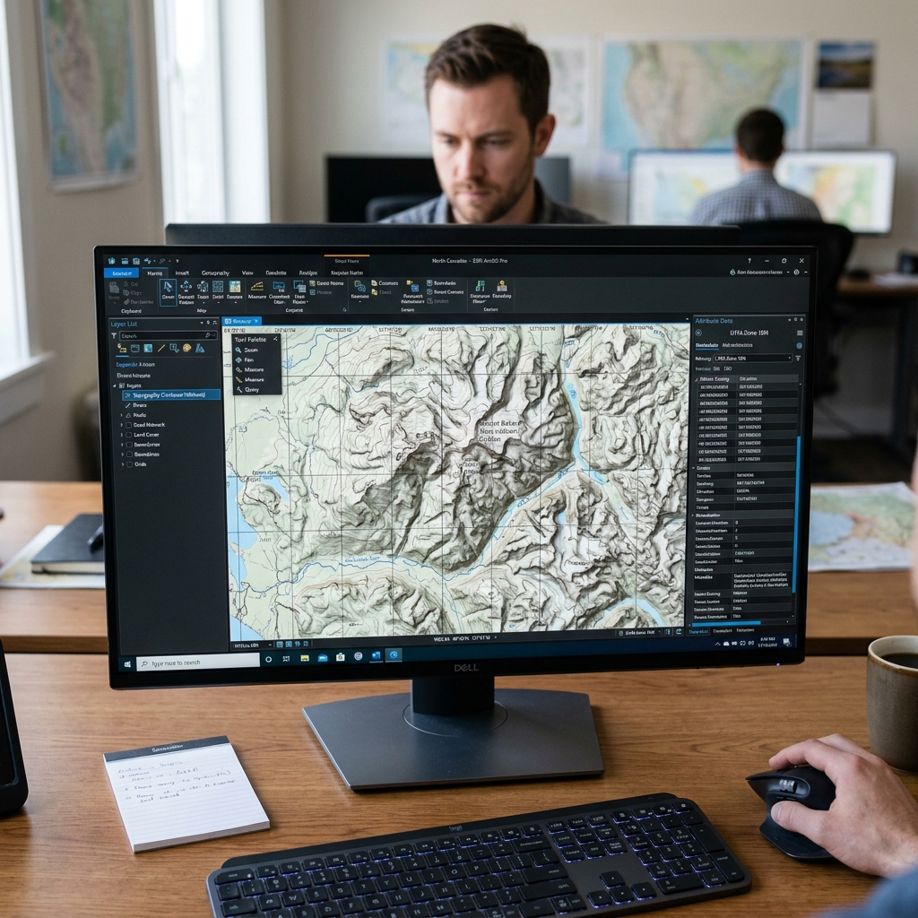
Our specialized Geoinformatics Science (GIS) curriculum offers hands-on expertise in spatial intelligence. Acquire command over professional spatial databases, satellite image processing, map digitization, and database design. Work on global mapping projects, modeling geographic patterns, and managing datasets in industry-standard tools.
5 structured modules · hands-on learning approach